
As part of our third year module ‘Environmental Sensing for Real World Geomorphological Challenges’, students write a blog which reflects on one aspect of their journey through the module. This year for the first time, a selection are combined to provide an overview of their journey.
Chalk Stream Systems:
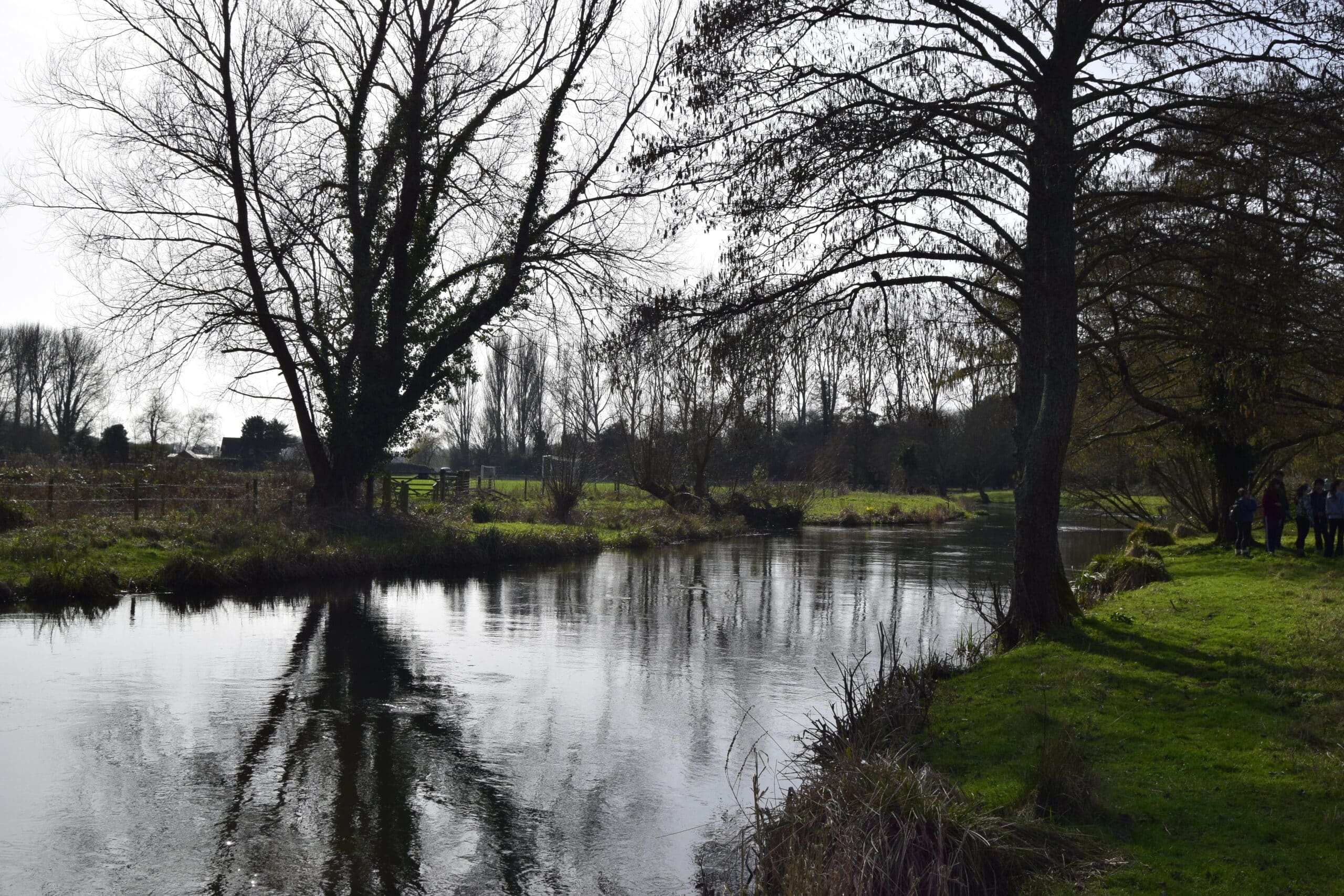
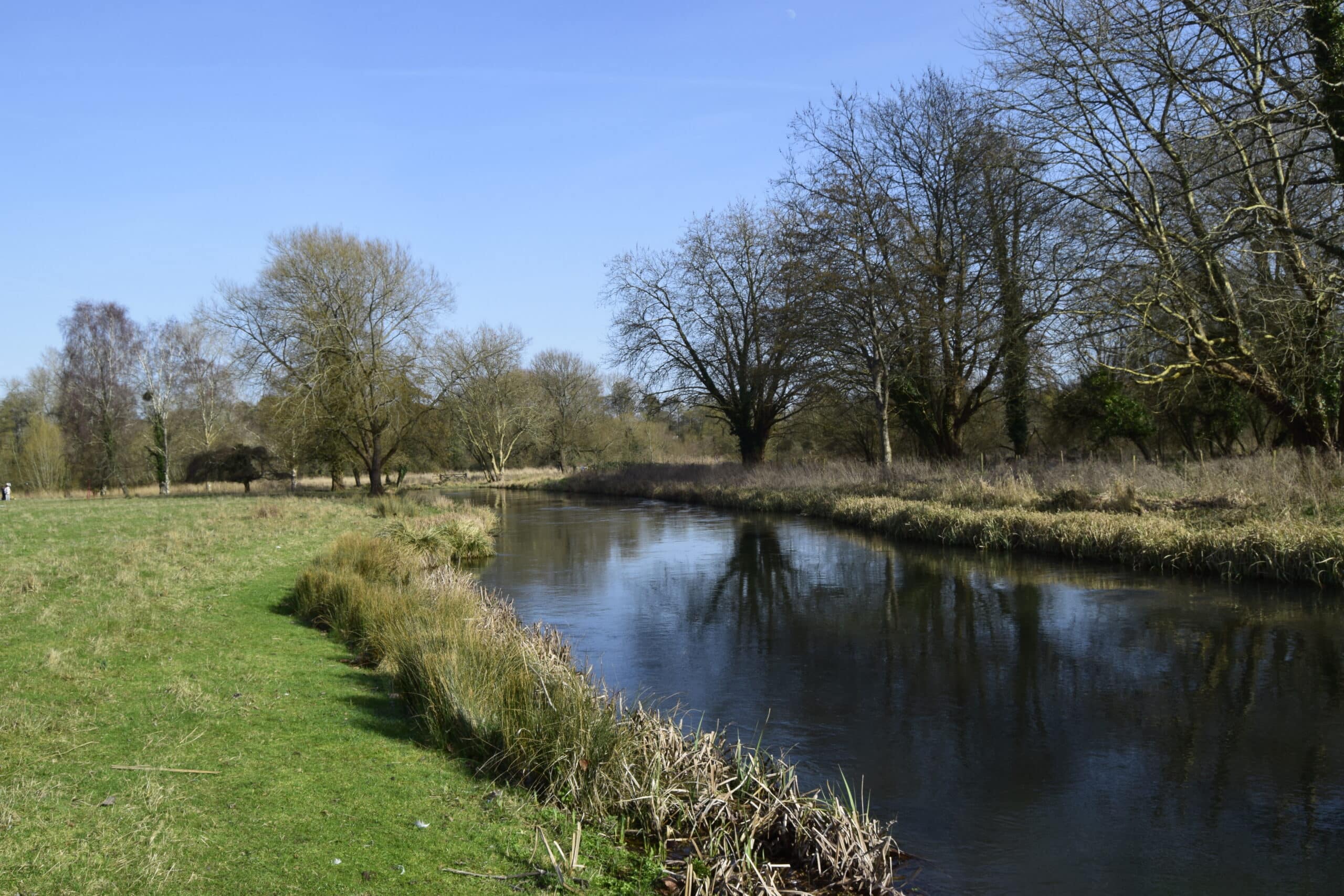
Chalk streams are a rare form of river that is fed by ground water systems. The porous nature of chalk allows for water to filter through the surface and form aquifers below the chalk surface. Around 85% of the worlds chalk streams are found in the UK.
Chalk streams have long been subjected to intense river modifications, being overdeepened, straightened, and burdened with infrastructure, accommodating local human land-use practices, including fisheries, urban development, flood management and agriculture. Chalk streams are threatened by over abstraction of aquifers, agricultural practices, urban developments, and likely future impacts of climate change.
Field Day:
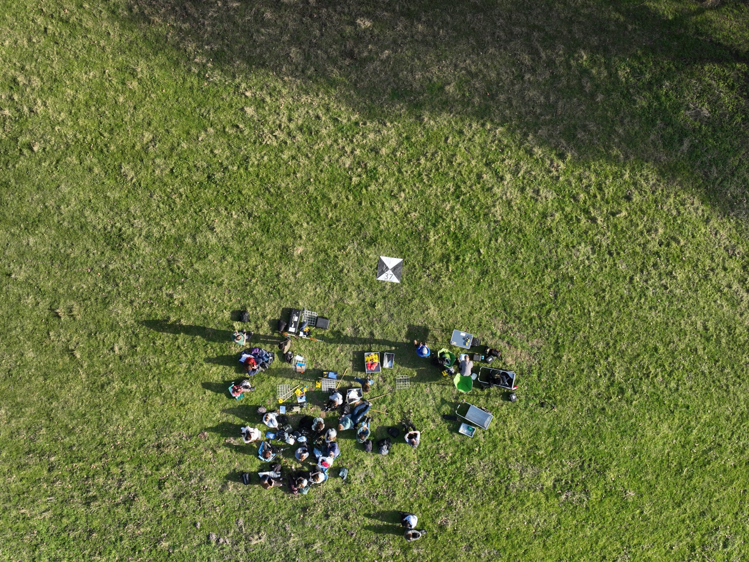
The first activity involved practising flights using the DJI Mini in the neighbouring sports field.
After this, each group rotated between several different data collection techniques. Before undertaking the DJI Mini data collection, we were given a demonstration of the DJI Mavic drone. The next technique we explored was TLS, collecting extremely large quantities of high-resolution spatial data in a relatively short amount of time.
Finally, groups had the opportunity to collect extra data such as undertaking a River Habitat Survey (RHS), collecting flow velocity, and measuring channel depth.

Techniques:
The below highlights a selection of the field techniques introduced to the students.
River Habitat Survey
The RHS provides a structured method for recording channel shape, substrate composition, flow conditions, vegetation, and any evidence of channel modification.
Rather than focussing on one individual feature, the survey allows multiple components of the river system to be interpreted together, thus helping to develop a broader understanding of habitat quality.
Terrestrial Laser Scanning
TLS is a highly accurate environmental sensing technique used to create detailed three-dimensional (3D) models of landscapes and objects.
Despite its advantages, TLS does have limitations. Since it relies on line-of-sight measurements, multiple scanning positions are often needed to capture complex environments, creating large quantities of data to handle.
Uncrewed Aerial Vehicles (UAVs/Drones)
The DJI Mini 2 is the most affordable UAV and can be used for basic high quality land imaging. Being efficient and easy to operate it is used mostly for recreational purposes but can be useful for simple visual reconnaissance.
The DJI Mavic 3 Multispectral holds a visible (RGB) sensor as well as a multispectral sensor acquiring Near Infrared, Green, Red, and Red-Edge wavelengths. This middle-value UAV can be used for synthesised multispectral vegetational mapping, making it great for large scale multidimensional mapping.
The DJI Matrice 300 RTK is the most advanced UAV of the three. Designed for robustness, it can operate in various weather conditions and climates. It can also support an extra ~3kg of sensors, which is useful for additional cameras or scanners such as LiDAR sensors.
Each UAS model offers useful niches for different surveying/research requirements, and as such each hold a different purpose of operation.

Outputs:
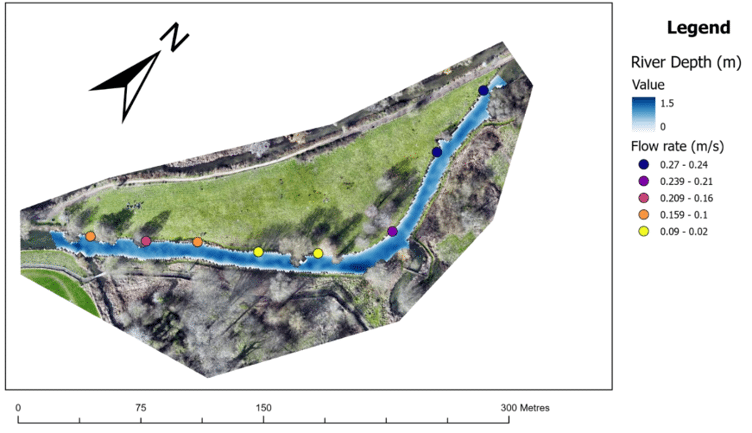
Some example outputs from the student blogs can be seen below.
Bathymetry
After collecting the field data, ArcGIS was used to process the imagery data and GPS points and create the depth model. This used refraction coefficients to recalculate the depth of pixels within the water column, and produce both depth and adjusted elevation datasets.
Shading
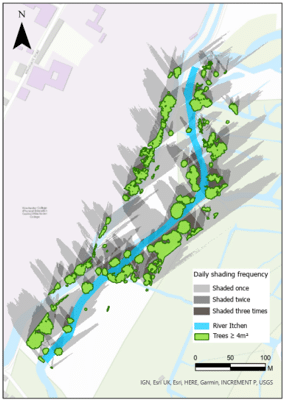
The LiDAR data produced a digital surface model and terrain model, the difference between the two captured the structure of bankside vegetation (canopy height). Trees with an area of 4 m² or larger were identified as trees for the analysis, and three times of day were used to compute shading.
Some reflective statements on the module:
Conducting surveys in the field helped reinforce our understanding of geomorphological monitoring techniques from lectures and the considerations involved in collecting reliable environmental data.
The answer to the question “which one actually gets it right?” is more complicated than first glance.
While UAV technologies provide increasingly detailed models of the Earth’s surface, this project showed that no aerial dataset captures the landscape perfectly.
Beyond the technical skills gained, the field trip also provided an opportunity to apply theoretical knowledge from the module in a practical setting.