Training & Support
We want to share our expertise with you…
ES@S makes use of cutting edge platforms, sensors and software. We can advise you on suitable hardware and design bespoke workflows for your research or commercial project.
Find out more below and get in touch with us to find out how we can help.
Equipment training
Are you thinking about how your team could use cutting edge hardware to address your environmental sensing problem?
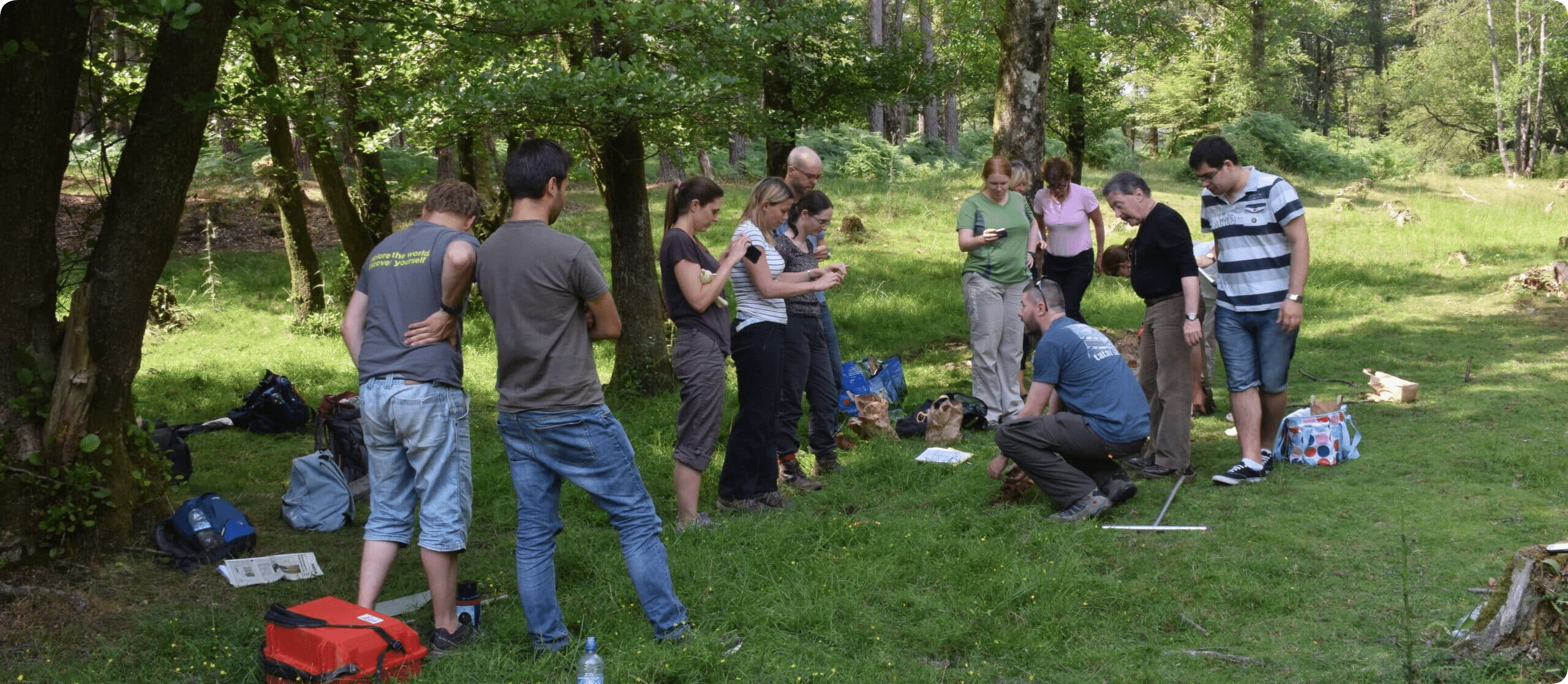
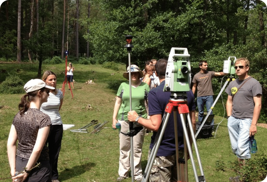
As well as advising you on suitable solutions, ES@S can devise bespoke training for your team in the preparation and deployment of hardware. For example, we can deliver field training using our suite of Leica Terrestrial Laser Scanners, GNSS and total station instruments, or MultiBeam Echo Sounding from our Autonomous Surface Vessels.
Get in touch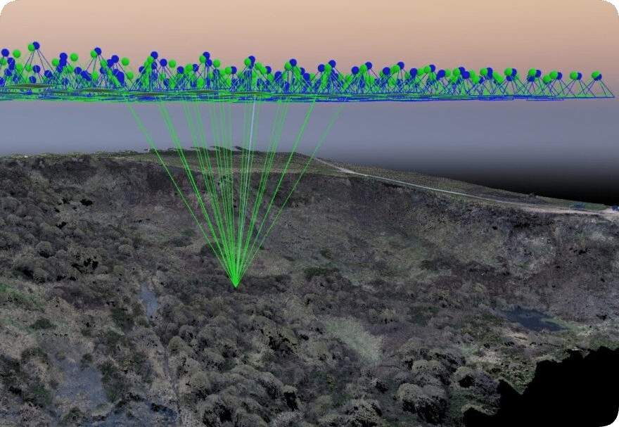
Software & data processing training
We are expert users of Pix4D, CloudCompare, BeamworX and other GIS software
Through our regular deployment of MultiBeam sonar and aerial survey equipment, we have built up an impressive range of data processing experience across the team, from applying cube filters for cleaning MBES data, to classifying UAV LiDAR data for vegetation extraction. We are happy to discuss developing bespoke workflows and training for your data needs and team.
Get in touchProfessional GIS training
Our partners, Geodata, also based at University of Southampton offer a range of professional GIS training courses using ArcGIS, MapInfo and Open Source QGIS software.
Geodata are a research and enterprise facility focusing on integrated multidisciplinary projects with a strong basis in data handling and access to information. They are expert GIS developers and trainers.
Learn More about geodata