Data Acquisition
Working at the cutting edge
ES@S is actively engaged in developing the tools and processes which drive forwards environmental sensing applications
We are currently participating in a range of UKRI, government and commercially funded projects. Most work with us as they need state-of-the-art platforms and sensors, coupled with expert knowledge of the environment in which they are being deployed. We are so much more than a survey company, providing expert insight into the underlying processes and functioning of an environmental system.
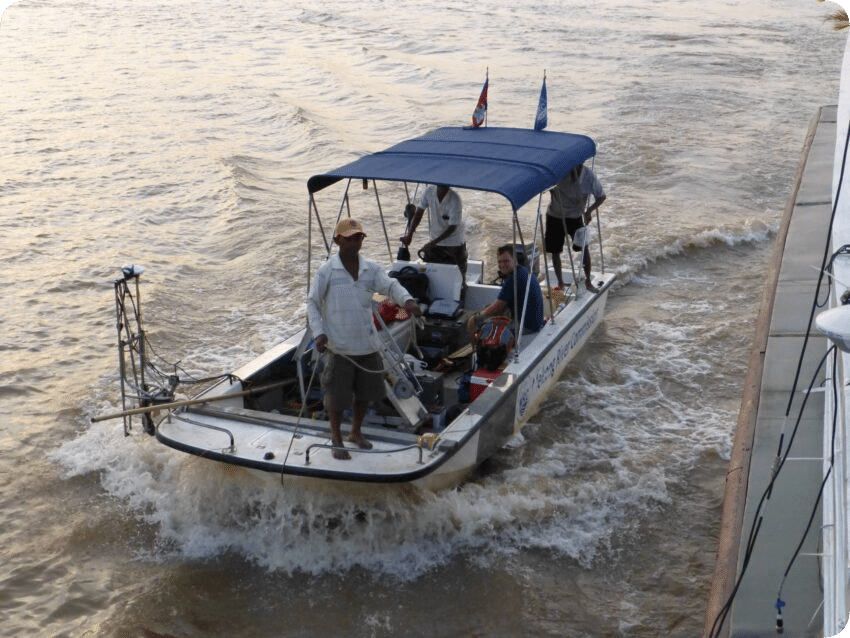
MultiBeam Echo Sounding
We own and operate a range of MultiBeam Echo Sounding (MBES) sensors, depending upon the task in hand
Our latest addition is the Norbit Winghead i77h, a 1024 beam unit with flexible swath coverage of between 5 and 210° and a 200-700 kHz operating frequency. Coupled with the integrated Applanix navigation system, the setup results in sub centimetre positional accuracy and an unprecedented level of bathymetric detail. We deploy the unit from a vessel of opportunity, or more usually from our Maritime Robotics ASV (see below).
Get in touch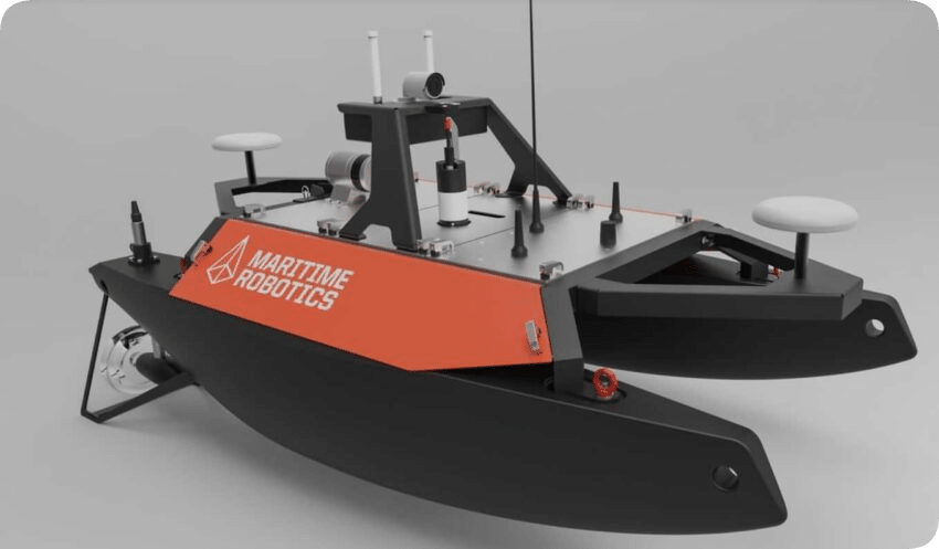
Autonomous Surface Vehicles (ASV)
We operate two ASVs, a small PicoCat and a larger Maritime Robotics Otter platform
The Maritime Robotics Otter USV has a footprint of just 200 x 108 x 106.5 cm allowing it to fit into our survey van for convenient transportation to and from sites. It can be disassembled into parts weighing less than 20 kg, making it easy for a single operator to deploy and navigate. When fully assembled, it weighs 65 kg, but remains ‘person deployable’.
Despite its size, the Otter has high endurance, capable of operating for up to 20 hours at 2 kn. It is equipped with electric thrusters powered by up to four powerful and easily interchangeable battery packs. We are able to ship the Otter worldwide for overseas field campaigns.
Get in touchLook beneath the surface
ES@S has been involved in hydrographic survey deployments around the world, from MBES surveys of the Murray in Australia, to collection of ADCP measurements in Vietnam.
We have processed data to analyse the changing nature of river and shallow coastal beds, assessed the impacts of sand mining on Asian mega-rivers and quantified declining sediment loads on the Mekong. Get in touch today to discuss your research project or commercial requirements.

We’ll design a bespoke package of data collection for your needs
When you work with ES@S we start where you would like to finish – by establishing the insight you want us to provide
Only then can we start to consider the data collection requirements and sensors that we need to use. These could range from very simple topographic survey using a robotic total station (collection of 100s – 1000s points) to use of ultra-high resolution TLS (1,000,000s – 1,000,000,000s of points). Our experience and your requirements will dictate the tools that we use, recognising the additional processing challenges that ‘big data’ brings. Similarly, we might deploy sensors from an Uncrewed Aerial Vehicle (UAV), from a vehicle, or even from a person!
Mobile Laser Scanning
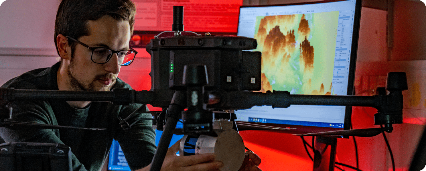
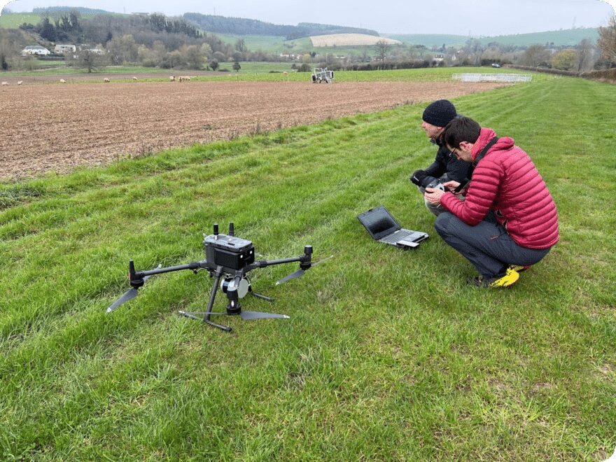
We are experts in the development and deployment of Mobile Laser Scanning systems from boats to drones.
We assembled and deployed the first published boat-based integrated MultiBeam and Laser Scanning system way back in 2013 (you can read the journal article here). We have continued to innovate since, developing a UAV mounted LiDAR and Multispectral system in 2019 (you can read about the system in this journal article).
Recently, commercial sensor packages have proliferated and we now tend to use a commercial system for our mobile mapping, but retain that pioneering passion for innovation. These systems are flexible in deployment, for example we can deploy our Topolidar system from a vehicle, UAV or via a backpack.
Get in touch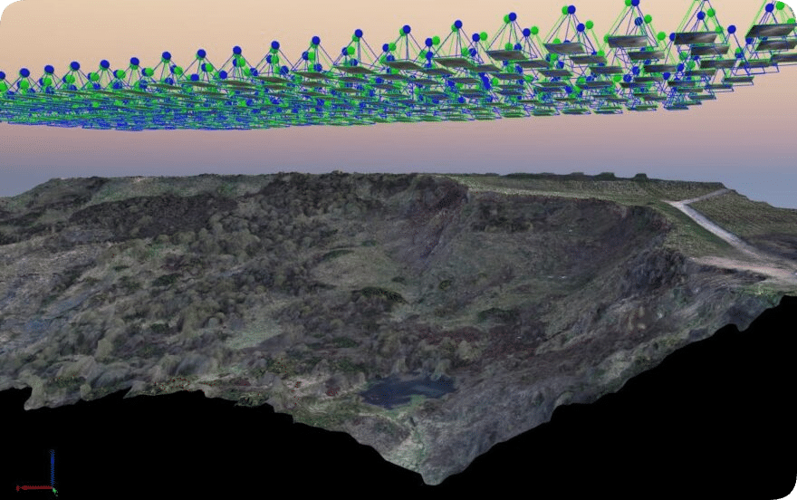
UAV survey imagery
We use a range of Uncrewed Aerial Vehicle platforms and imaging sensors to collect the data we need.
Survey imagery comes in many shapes, sizes and spectral bands! Whilst we typically collect visible imagery for creation of orthophotos and for creation of 3D surface models using SfM, we might also recomment multispectral data, including NIR bands, if you have tasked us with assessing vegetation and/or water dynamics.
ES@S operates a fleet of UAVs of varying size, from very lightweight training platforms (see how we can help your team) to heavy lift systems capable of carrying payloads of >5 kg. This allows us to assemble custom payloads as required to collect the data we need.
Get in touch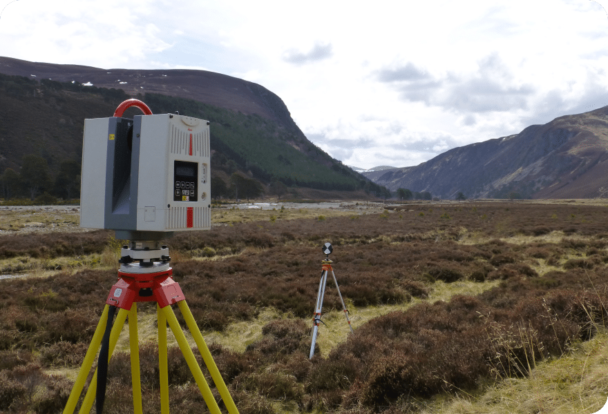
Ground based TLS
We are well-established experts in the deployment and processing of Terrestrial Laser Scanners
As some of the early adopters of TLS for geoscience applications, we have now owned more than four iterations of the industry leading Leica HDS Scanstation, whilst having deployed others from manufacturers such as Reigl and Faro.
Our current P50 TLS has a range of >1 km and a scan rate of upto 1 million points per second, alllowing us to capture large areas at incredibly high spatial resolution. We use multiple ground based targets, along with dGPS, to georeference multiple scans together, usually with errors of less than 5 mm.
Get in touch
Expertise
From microscopic detail to global analysis – we know what we are talking about
We have access to some of the world’s leading experts in remote sensing, hydrology, ecology and marine dynamics to name a few.
Learn More