The Environmental Sensing @ Southampton team recently swapped the Solent for the Mekong, supporting an ambitious interdisciplinary research project exploring the hidden costs of sand mining in the Mekong River.
Funded by the UKRI Cross-Council Responsive Mode scheme, HIDDEN SAND is bringing together geographers, engineers, social scientists, artists and local communities to shine a light on the environmental and social impacts of this global industry.
ES@S role is to lead on the deployment of Uncrewed Aerial Vehicles and MultiBeam Echo Sounding equipment to map the Mekong River, it’s banks and the communities who live there, in more detail than ever before.
Eyes in the sky
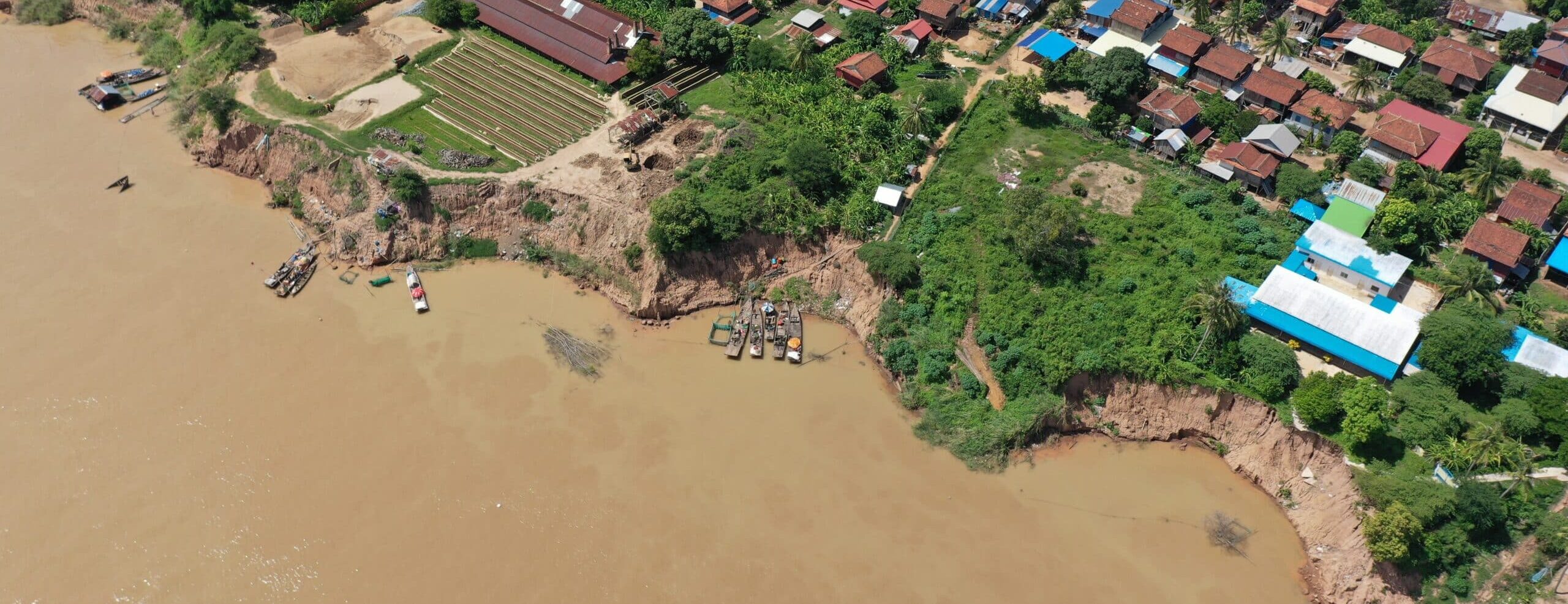
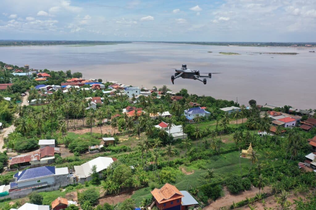
Dr Chris Tomsett, with HIDDEN SAND PDRA, Gustavo Nagel, led drone deployments along key stretches of the Cambodian Mekong to record ultra-high-resolution imagery of the riverbanks. These flights didn’t just map the physical shape of the land, they also captured how riverside spaces are being used by local communities. From small boat moorings to agricultural plots, these insights will feed directly into the project’s participatory digital twin, helping to link environmental change with human livelihoods.
A small section of the riverbank at Roka Koang can be explored below from reconstructed drone imagery, showing the bank protection in place and the communities living there. (The model may take a few seconds to load)
Mapping the unseen
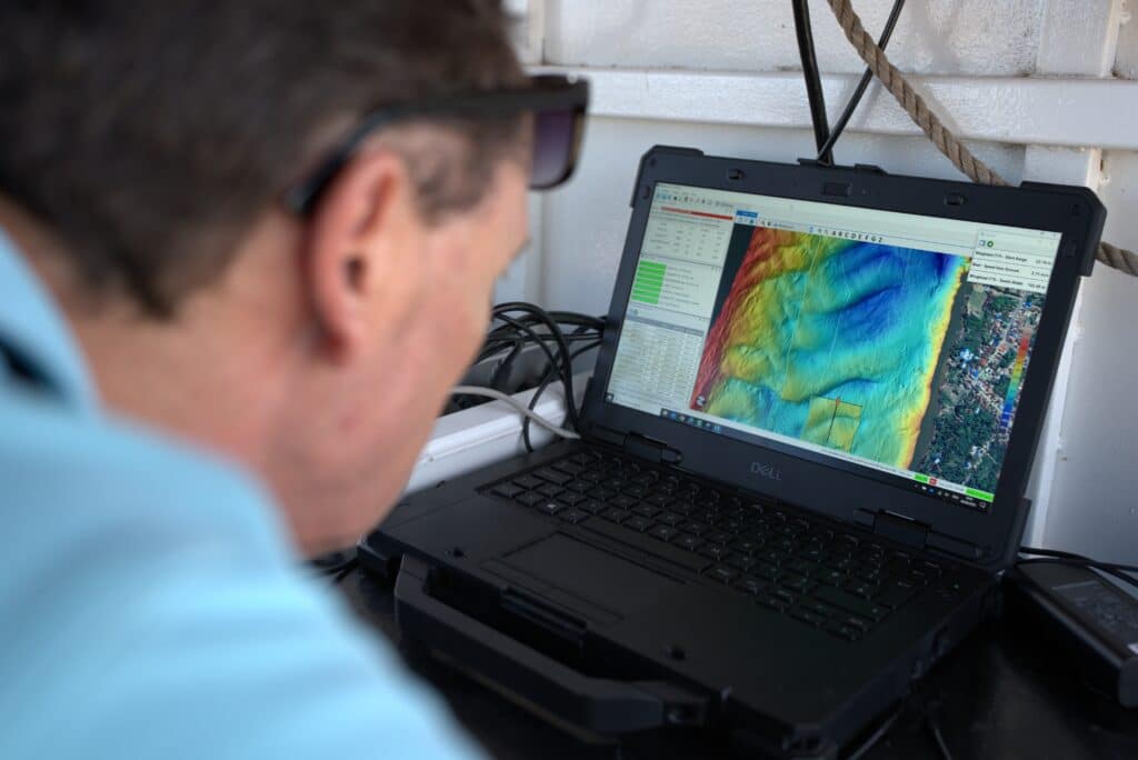
Back on the water, Professors Julian Leyland and Steve Darby worked with ES@S to deploy our Norbit i77h multibeam echosounder and iLiDAR unit. This specialist kit mapped the riverbed and banks at incredibly high resolution, revealing underwater topography that’s impossible to see from the surface. By combining these underwater maps with the aerial imagery, the team can build a seamless picture of the Mekong from the riverbed right up to the treetops.
Why it matters
Sand mining is reshaping the Mekong in profound ways, from eroding banks to changing fish habitats. But it’s not just an environmental story, it’s about people, too. The data ES@S collected will help researchers and local communities understand the scale and pace of change, and explore sustainable alternatives
“ES@S are a vital part of the HIDDEN SAND team, bringing unprecedented technical expertise and state of the art equipment. UAV and multibeam mapping capability means we now have a detailed, integrated view of the Mekong’s banks and bed. This will be invaluable in understanding how sand extraction is altering both the landscape and the lives of people who depend on it.”
Professor Julian Leyland, Prinicipal Investigator on HIDDEN SAND and Director of ES@S.
The Mekong fieldwork marks a big step in HIDDEN SAND’s mission to uncover the full story of sand, from its environmental impacts to its cultural significance, and ES@S is proud to be part of it. You can find out more about the project in the short video below.